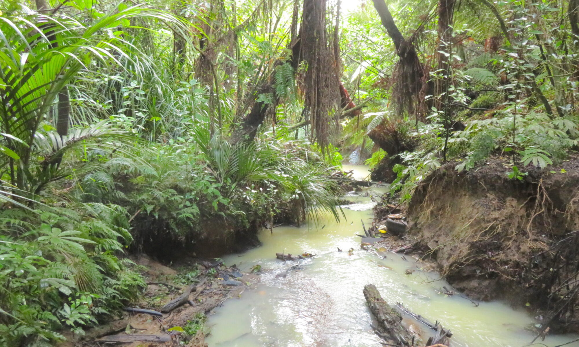
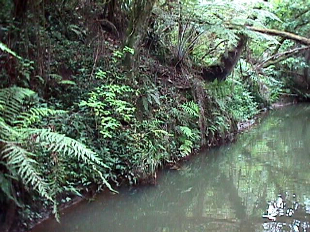
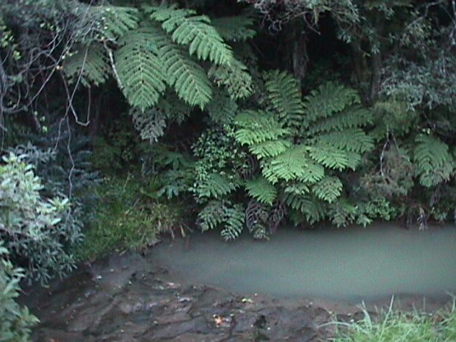
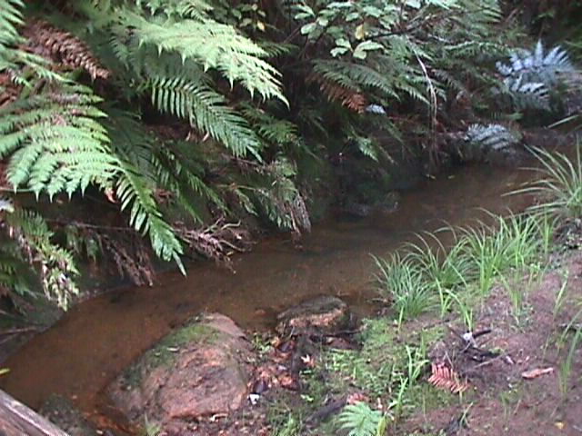
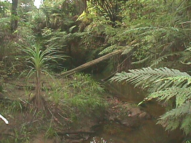
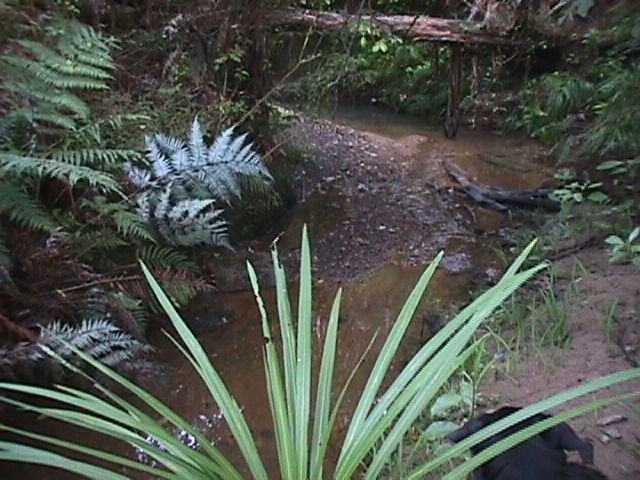
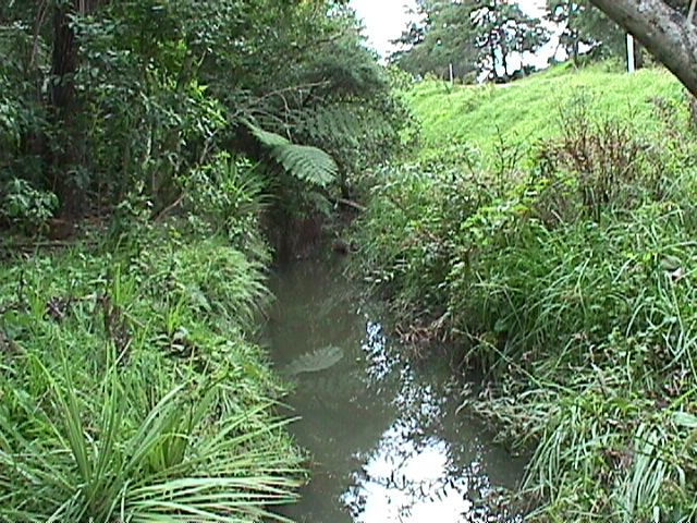
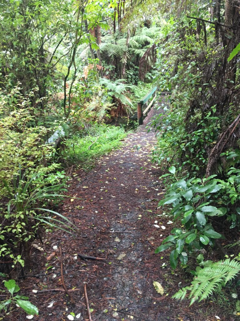
Above: Kaipatiki Stream in 2019, after being handweeded regularly from 1997-2002, and again for a few months in 2019; just below the footbridge at the beginning of the Native Plant Trail.
Coming as and when time permits…fond memories and recent re-observations of the 1997-2002 volunteer-led restoration of Kaipatiki Stream beside Kaipatiki Rd in Glenfield, from Easton Park Parade to the estuary…but mostly the upstream part, as the volunteers met each day at the Mayfield (now Kaipatiki) Scout den.
Background: Our 1997 restoration project was on the stream that runs alongside Kaipatiki Rd down the ridge from Glenfield Rd.
On its way to the estuary it is joined by several small unnamed tributaries, including a large one from the North piped under Manuka Rd. It merges with the Eskdale Stream running down through Eskdale Forest- also aka Kaipatiki Stream or Kaipatiki Creek!
Only 25 years earlier, Kaipatiki Creek at the corner of Kaipatiki Rd and Easton Park Parade had been a small pool in which koura, freshwater crayfish, were caught by local children.
When we invited the public to take part in the weeding project in 1997 we had not heard of Kaipatiki Creek or Kaipatiki Stream, because the stream from Glenfield Rd down through Eskdale Forest to the Kaipatiki Estuary was generally called Eskdale Stream. The stream where the restoration project took place, along Kaipatiki Rd in Glenfield, was in such bad condition that younger people and those relatively new to the area- and most of us were – were not aware it was a stream.
We decided to refer to it, both privately and publicly, as Kaipatiki Stream, challenging the perception of it as a dumping ground and drain, and over the first year of our daily operations we gradually succeeded., to the point where passersby and members of the public encountered locally spontaneously expressed their delight and pride in learning we had native fish in our local stream. Not many of the locals took part in the weeding and rubbish removal, but with regular press releases, a monthly letterbox-drop, and mailing list newsletter, most were aware, and very supportive.
In 1996 Kaipatiki Rd ended at the bottom of Stanley Rd. In 1999 the road was extended to the Kaipatiki Estuary, which was at the same time bridged to join Beachhaven Rd and Kaipatiki Rd.
Locals called the stream a “stormwater drain”. In fact all streams are stormwater drains, and all stormwater drains are streams – however degraded, diverted or contained – but calling it a stormwater drain meant that we did not realise it was also a natural stream.
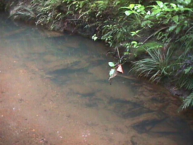
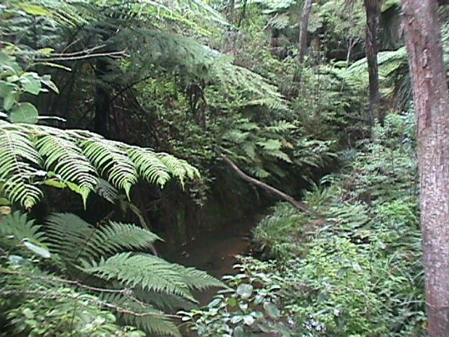
Fortunately, this stream, at least from Glenfield College down to the estuary, was still following its natural path, and uncontained. Just as importantly, most of it was still shaded by trees and dense low vegetation – whether native or weeds.
Though the forest on the hillsides had been burnt off, the wet streamside along the bottom of the gully was never completely deforested. Remnants of the former kauri forest which once covered these hillsides had regenerated in the 40 years since the last fire, and a local resident was able to recount the first tree species in the forest’s spontaneous regeneration. The hillside forest was part of the Witheford estate housing development, and by 1996 had become Witheford Scenic Reserve (better known by that name in Bayview, where the Reserve has an entrance from Valecrest Ave, below Witheford Drive).
Below Easton Park Parade, the stream was still carving a shallow meandering channel through Waitemata sandstone, through a network of steep gullies which fire had probably never completely destroyed, below hills on which native forest had been spontaneously regrowing since farming and agriculture gave way to suburban housing and roading in the 1960s.
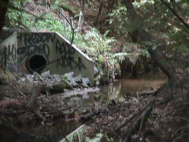
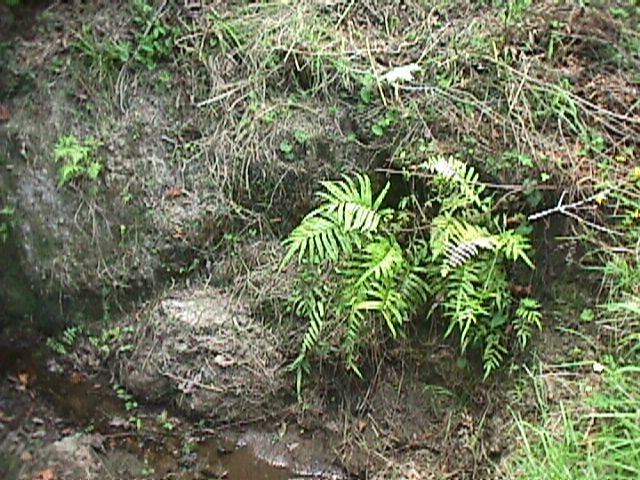
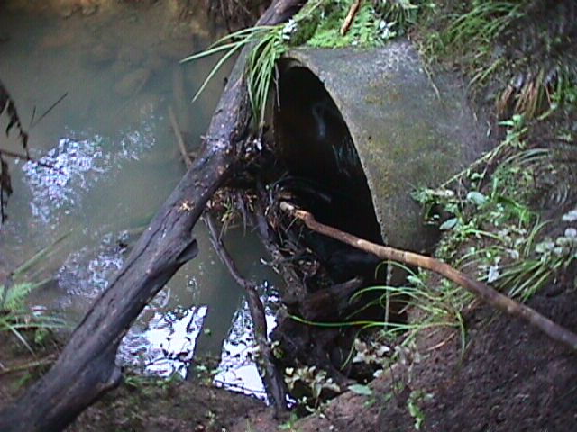
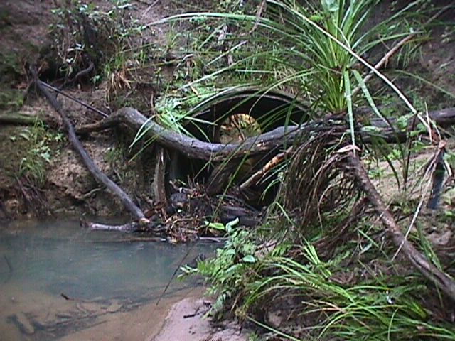
1999: The upstream zone, just below Easton Park Parade. A concrete culvert built to house the outlet of a pipe draining stormwater from a building site above
In the above 1999 photo, the few metres surrounding the culvert treeless has been bared by the piping work, but the opposite streambank, as well as the bank on the left both upstream and downstream of the culvert, were still covered by kidney ferns, mangemange, several species of Adiantum, Blechnum and Asplenium, and many other seldom seen locally-native plants.
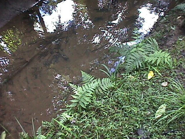
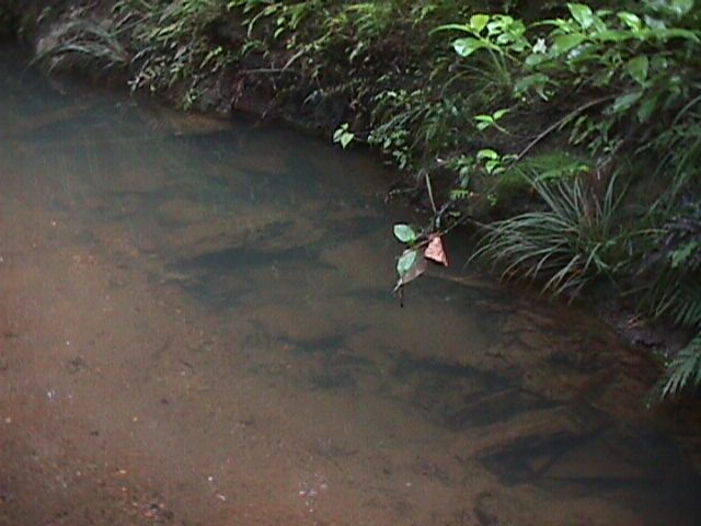
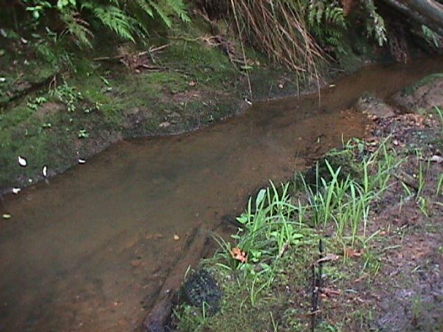
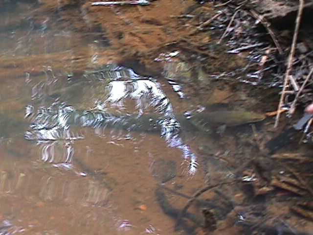
When not in flood, the clear sparkling waters of the upper stream tumbled gently over a streambed of smooth multi-hued pebbles between ever-changing sandy banks.

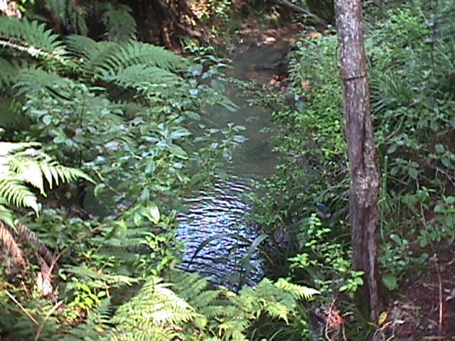
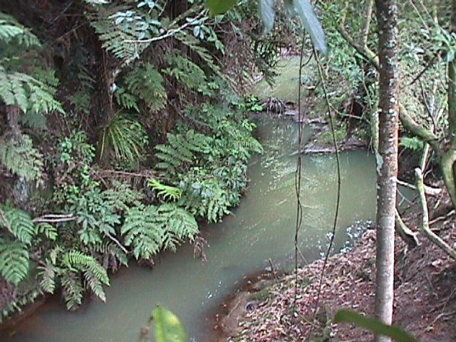
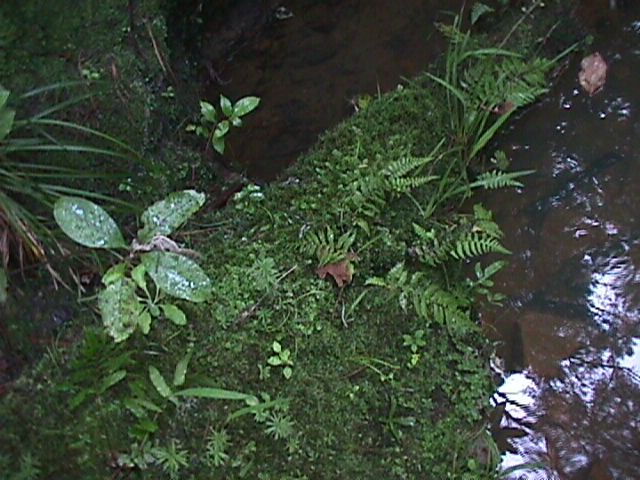
In the lower ground nearer the estuary the stream flowed gently, between wider, deeper and more stable banks, and ferns and mosses gathered in the designs carved into the Waitemata sandstone by the perpetual flow of water.
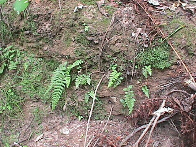
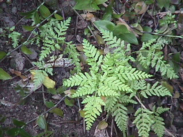
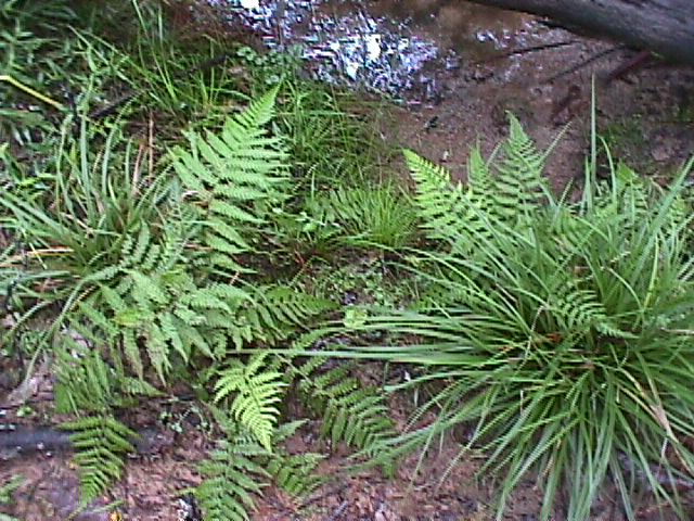
So, having discovered there were beautiful little ferns, native tree seedlings and other plants beneath the Tradescantia, we began weeding the streambank at various points, from upstream to just above the tidal zone, to free the wild native vegetation, which began to grow and spread along the weeded banks.
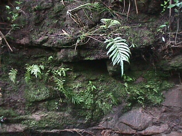


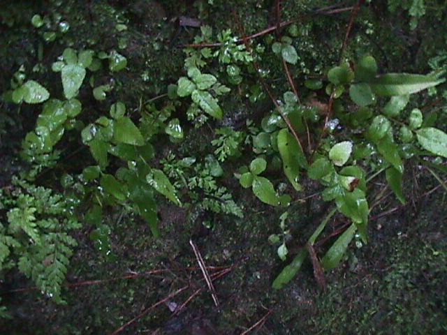
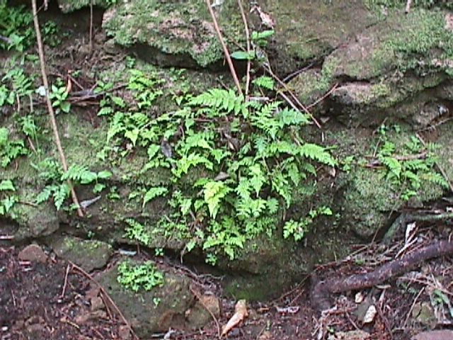
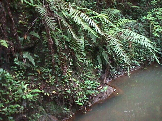
Above: 1999: Some of the rarer and more vulnerable of Kaipatiki Stream’s flora cling to these steep banks just below the outlet of the concrete pipe that holds Kaipatiki Creek as it passes under Easton Park Parade, opposite Glenfield College.
Protected from disturbance by its inaccessibility except by wading upstream, which we did alone, the beauty of this part of the stream was spoilt only by the concrete culvert, erosion of roadside banks due to stormwater pipe outlets at the roadside, and some patches of dense Tradescantia at the water’s edge.
The more diversity and beauty we discovered along the streambanks, the more aware we became of the potential for transformation of the “stormwater drain” into a beautiful piece of local natural heritage, despite some obvious threats to the stream and its inhabitants.
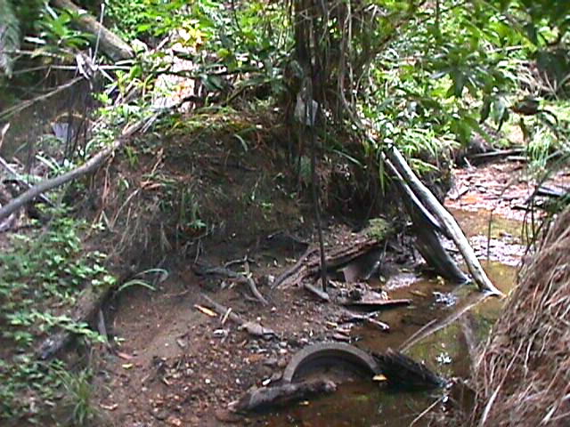
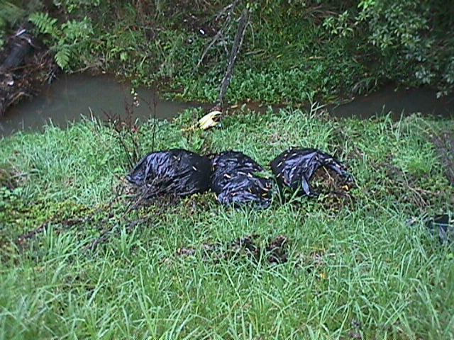
In 1996 Kaipatiki Stream and its banks were littered with the remains of private rubbish dumps, with more recent roadside dumpings of household goods including mattresses, carpet and appliances, discarded industrial equipment, car bodies… and a daily load of litter.
Every time it rained, more litter was flushed into the stream. The roadside gutters emptied the plastic bottles, cans and takeaway food packaging directly into the stream via large stormwater pipes, hidden from view except when standing by the stream itself, and few people ever reached it as most of the stream is very difficult to access.
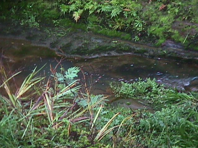
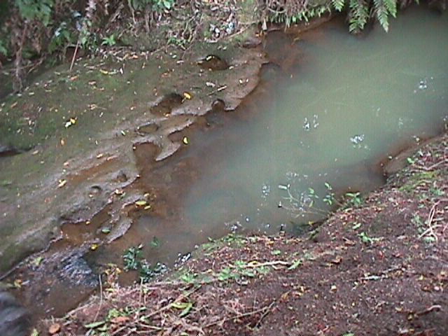
Though its shallow upstream waters ran sparkling and clear over pebbles between water-carved sandstone banks, the stream was frequently discoloured by paint, machine oil or detergent. Where its shallow waters were warmed between treeless banks in summer the stream became clouded with algae.
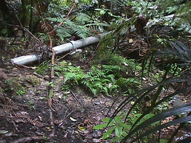
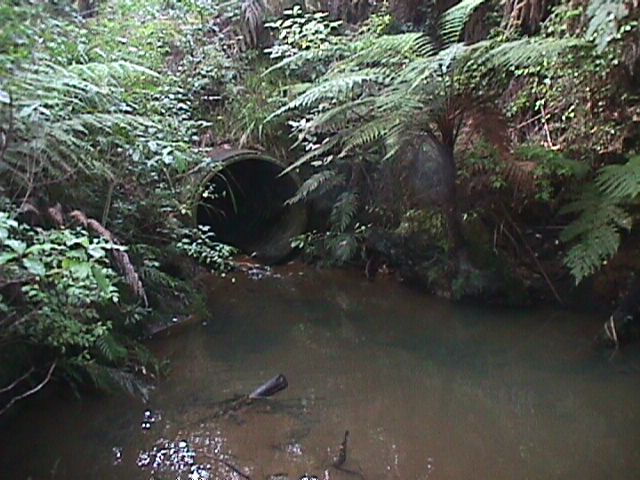
As far as we could discover, the stream was piped only for a couple of short sections: for about 20 m beneath the Easton Park Parade/Kaipatiki Rd intersection, and for a few metres a little way further downstream.
Rainfall on the impermeable surfaces of roading and housing had been flooding the stream increasingly for a few decades, as the steep hillsides were built on. This flooding was of various kinds:
uncontrolled, the increased runoff from concrete and compacted soil joining the natural runoff and seepage from the lower edges of properties and roads above
piped, commonly via plastic perforated drainage tubing about 10cm diameter. Erosion occurs at the point of outflow, so pipes are a source of erosion either of the bank above the stream, or, in the case of large pipes and water volumes, of the streambed itself. Few of these small drainage pipes extend all the way to the stream, so the erosion is generally higher up the bank
concrete pipes, sometimes reaching only to the top of the bank, but in some cases with the outlet in the stream

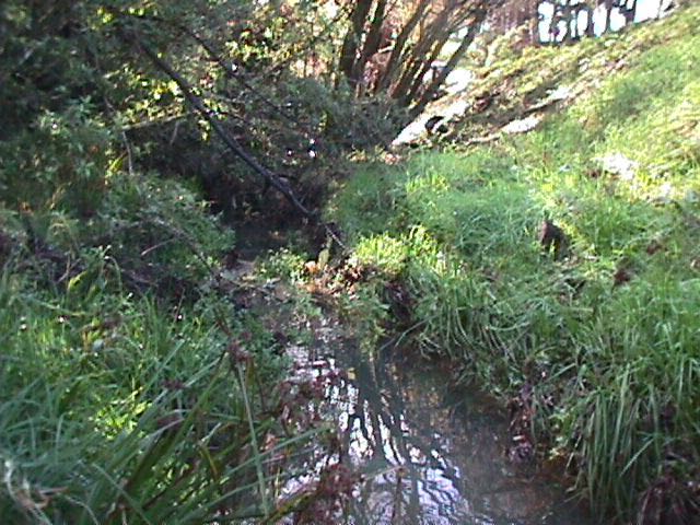
Above: Looking upstream, about 50 metres downstream of the footbridge opposite the Glenfield College sports fields. The Kaipatiki Road side of the stream was covered in dense kikuyu, Elaeagnus and blackberry. There was, and remains in 2023, a large stormwater pipe draining both the road and open land on the other side of the road, its outfall near the top of the Kaipatiki Road side streambank.
For several years from 1998 volunteers controlled the kikuyu around trees they had planted at the top of the bank, but during our reassessment in 2019 we found the Elaeagnus and blackberry had spread to cover the entire bank from just below the roadside to the water’s edge, with the new addition of moth plant and honeysuckle, and a couple of new wattle trees had already matured and fallen, worsening the erosion.
1998: Kaipatiki Creek beside Kaipatiki Rd near the bottom of Stanley Rd, with wild regenerating forest on the left bank, and only weeds on the roadside bank – exposing the stream to sun and heating the water beyond the tolerance of many freshwater species
The roadside banks were covered by a dense mat of Kikuyu grass, broken only by scattered shrub and tree weeds because kikuyu prevents almost all native plants from germinating or developing.
On the road side of the stream, the banks are steep, often unstable slopes, in places formed from dumped gravel and soil and without trees.
On the other side of the stream, the banks are at the base of low cliffs, with water seeping almost perpetually and running after rain. Already in 1997, infill housing, offroad parking , concrete driveways and paved patios had become commonplace, so the surrounding streets and the new steep hillside subdivision held a large area of impermeable surfaces.
On the steep hills above the stream, large pine trees fell, breaking mid-storey canopy and creating small craters. Lower down, on the sedimentary stream banks, deep holes appeared overnight, the sudden subsidence presumably due to hidden underground flows.
After about a year of weeding alone in our free time, our enthusiasm for what we were seeing led to the creation of a 7-days-a-week, closely supervised, careful and selective community weeding programme. To enable receiving public funding for long term management of the Project and supervision of volunteers, locals with ecological skills or community organisation backgrounds formed a steering committee, followed by the formal creation of an Incorporated Society with charitable status. We decided to call it the Kaipatiki Ecological Restoration Project, usually referred to as the Kaipatiki Project or KERP.
The restoration site became locally known as the Kaipatiki Project.
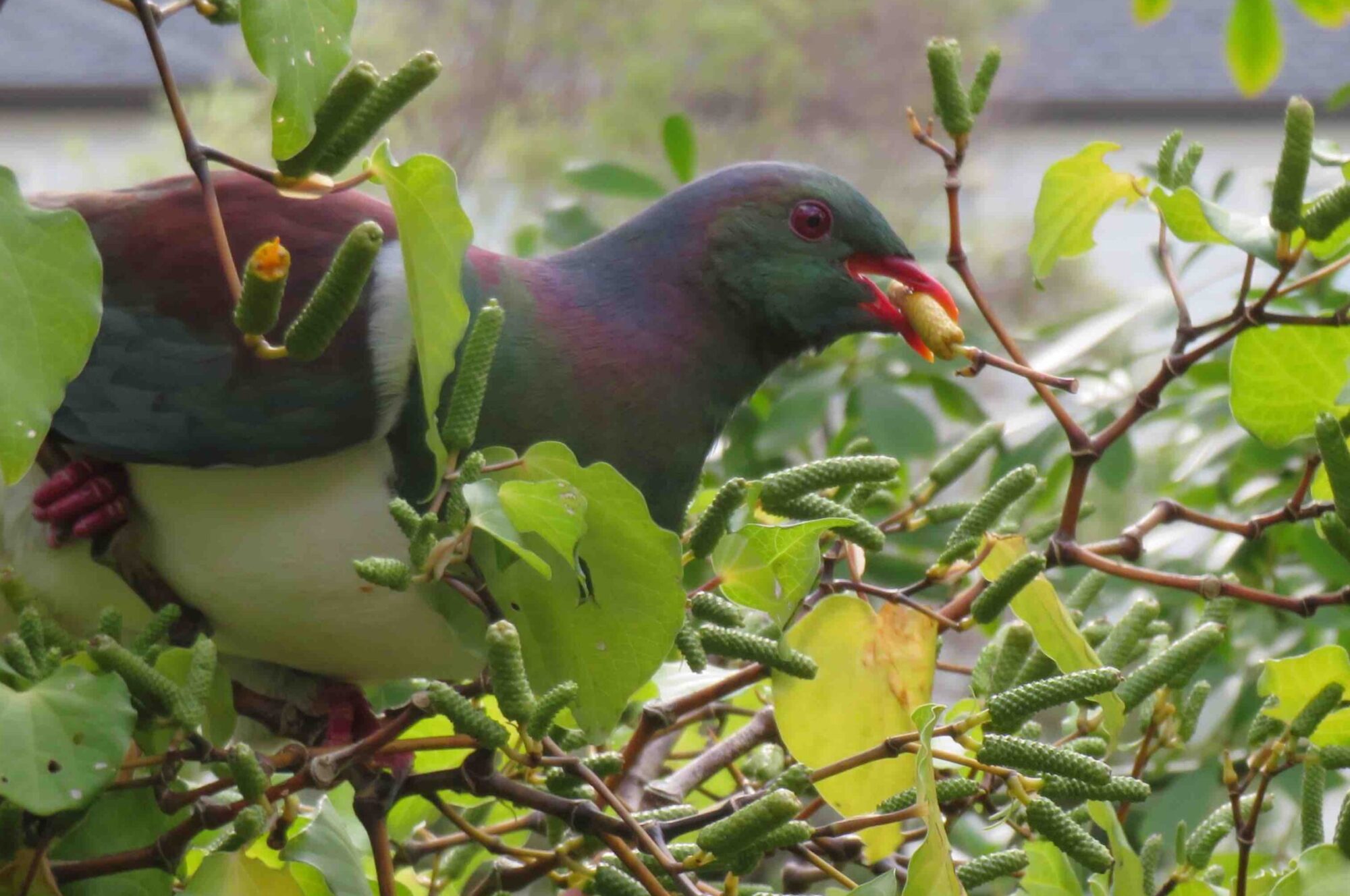
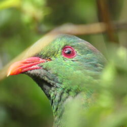
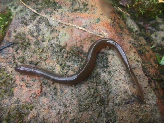
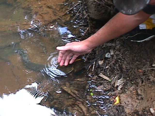
In 1998, at the invitation of KERP volunteers, the Freshwater Native Fish Society conducted a freshwater ecology survey of the stream opposite Glenfield College, and confirmed several species of native fish including banded kokopu were breeding at least as far upstream as this point. (We already knew there were plenty of eels there, as we often saw them gliding in the water , or heard the sudden splashes of their hunting).
Below: Volunteer stroking one of the eels near the footbridge about 1997-98
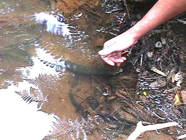
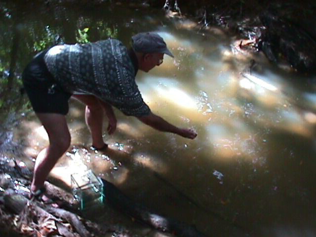
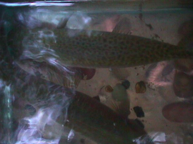
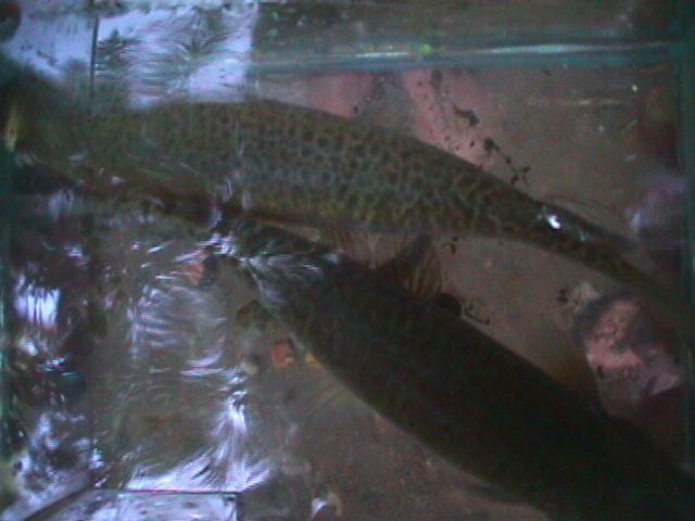
Above: Native Freshwater Fish Society member releases a kokopu gently netted during their 1997-98 survey of the stream
Involving the public meant more physically demanding tasks could be taken on.
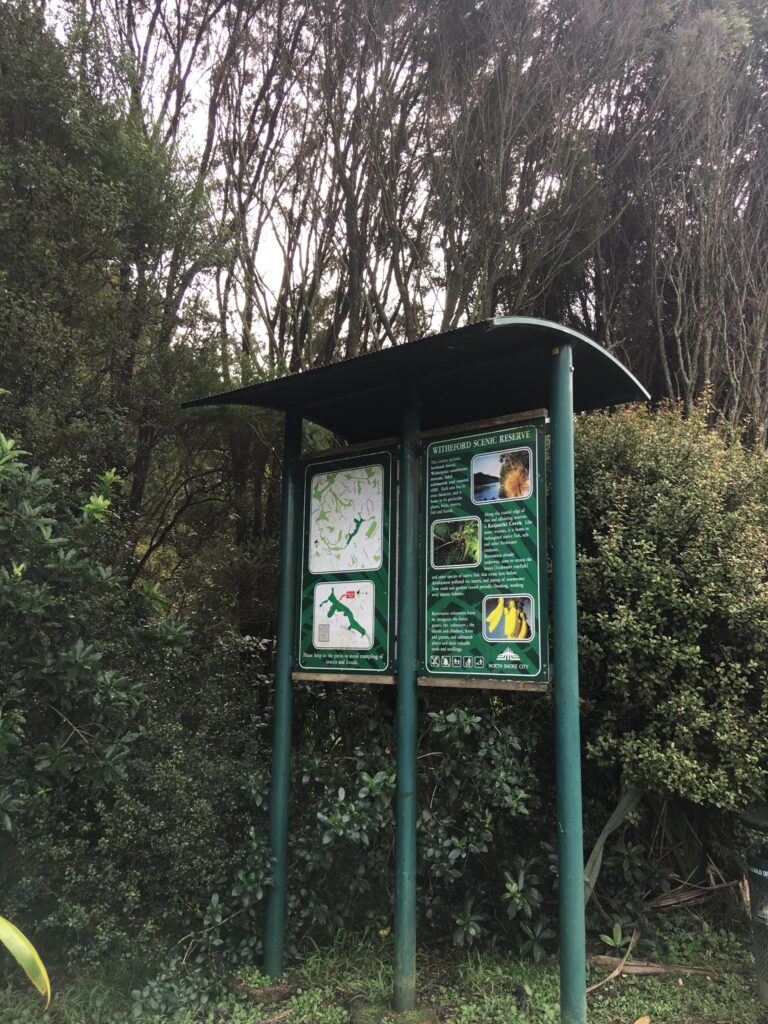
Right: over the course of 2 years of almost daily volunteer weeding, pathmaking, administration and hand painting of signs, we wrote and designed this Site ecology interpretation sign. It was erected by North Shore City Council in 1999 on what was then a mown kikuyu grass roadside berm several metres wide.
By 2019 the sign had become hidden among the successful revegetation of the bank top, so I pruned back the young trees so the site map and information can once again be read.
The lockable bulletin board cabinet on the reverse still holds a KERP newsletter from 2002, but there is no record of what happened to the key that unlocked the cabinet, which was presumably unused after 2002.
Update in 2025: The entire sign has been removed, and replaced with one about the more general ecology and older history of the wider area.
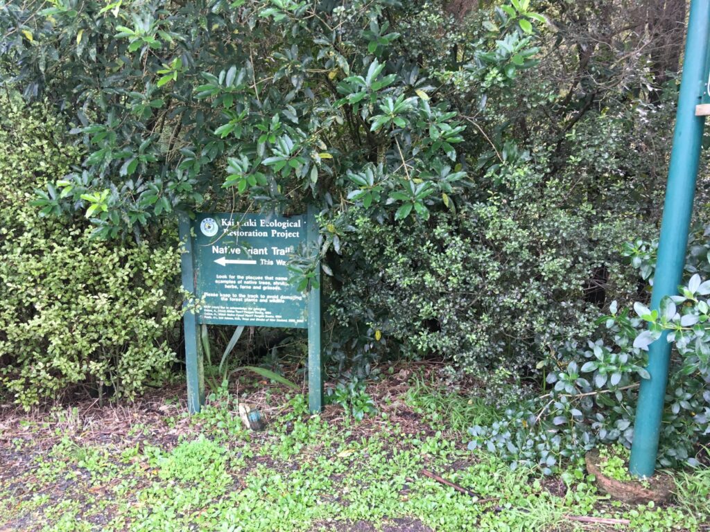
Sign marking the upstream end of the Native Plant Trail, opposite the Glenfield College tennis courts
The Trail crosses Kaipatiki Stream via a footbridge
After completion of the Kaipatiki Rd extension and bridge, the older section of Kaipatiki Rd was widened to accommodate the planned increased traffic, all the way to Easton Park Parade where this sign was erected on the corner, at the edge of the 1998 Arbor day community planting of the kikuyu-covered streambank with most of the 1500 trees funded by North Shore City Council.
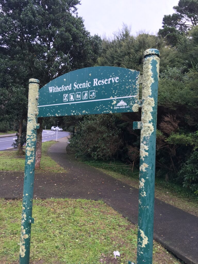
In 2019, a healthy growth of lichen decorates the NSCC sign on the corner of Easton Park Parade
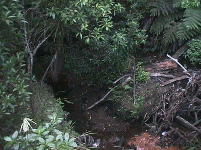
2023: Hopefully those inaccessible and breathtakingly beautiful native streamside plant communities remain, but we don’t know. At the time of our 2019 RENH-funded reassessment of the 1997 restoration site we would have needed to dedicate a well-prepared half-day to reaching many of the areas we used to wade to, due in places to the success of dense wild native revegetation, in other places to new dense weed invasion, including wattles and pines.
Other areas are now too hazardous for us to explore alone due to deep scouring of the stream banks, deep holes in the streambed, and treefalls into the stream.
The rubbish removed in the fulltime 1997-2000 restoration project has been replaced by new rubbish dumpings and litter in stormwater.
We did not see or hear any eels or fish while working on the streambanks during our 2019 RENH-funded reassessment of the restoration.
To be continued as time permits…..